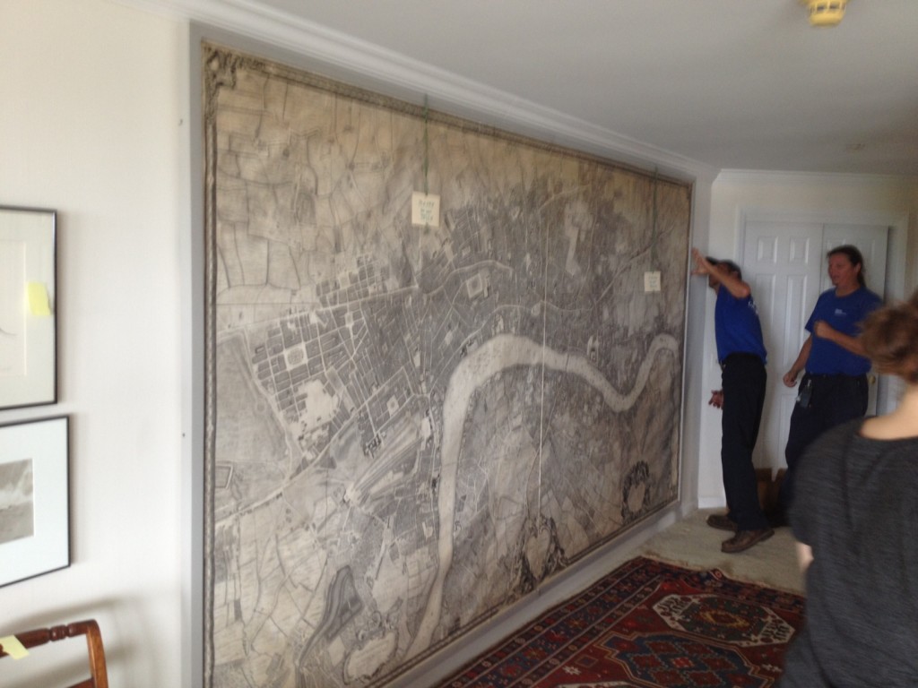
The Rocque map of London 1749 – Transportation, Preservation, Installation and CELEBRATION!
Imagine a finely engraved map of London, circa 1749. The map is comprised of separate sheets that are mounted 8 across and 3 down. The 24 sheets are printed on cotton rag paper and mounted on coarsely woven linen. The map has been repaired, mounted, and framed by professional conservators. Though the conservation work was done over 20 years ago, the work is in-line with current best practices and the map has lovingly been cared for by the owners in the intervening years.

…
